In October we went down to St Ives. The intention was for me to run a reasonable chunk of the Arc course to scare myself shitless find out what it’s really like. Recovery from my appendectomy put pay to that but I did get a chance to walk a few miles. I took a bunch of photos and this post is essentially a bunch of notes to remind me of the bits I went to.
I’ve just found out you can do multi-page posts in WordPress really easily so I’ll do a page for each area I visited.
Places
Behold, my Photoshop skillz! Here’s a map with the places we visited on:
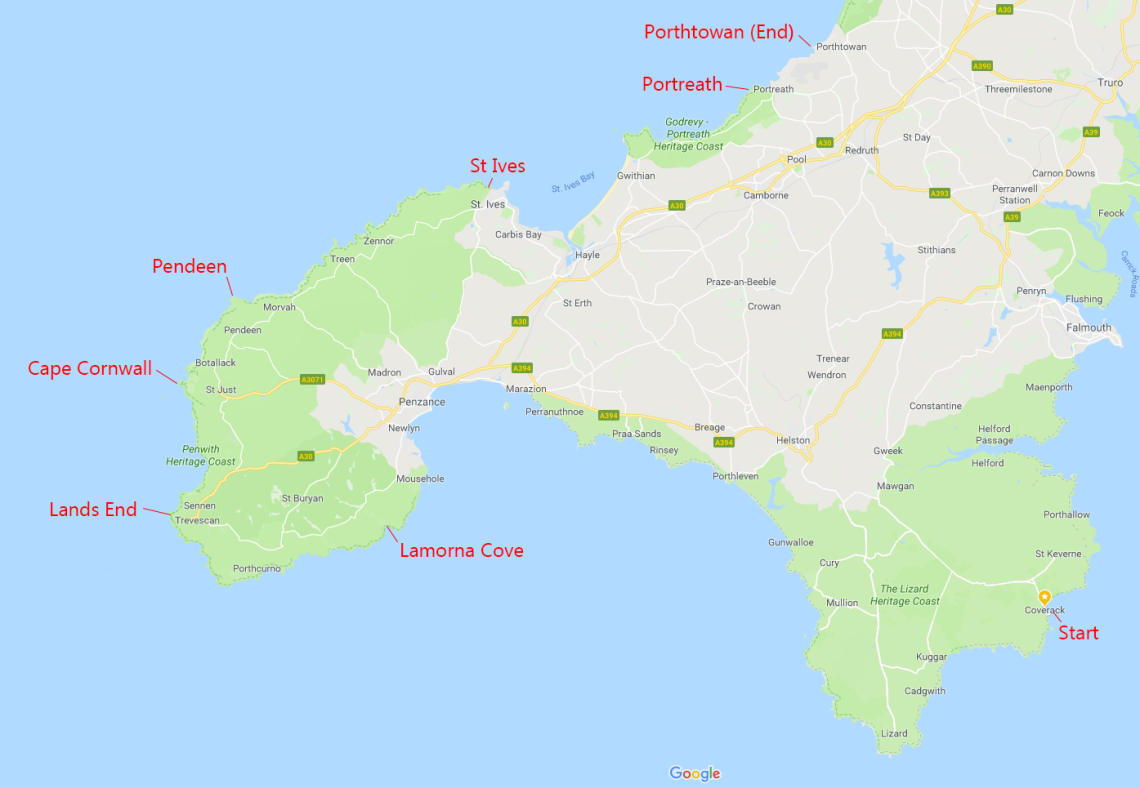
For each place I’ve put the approximate distance and a very rough target time. I haven’t thought properly about these times so they may be quite wrong, but they should give a sense of which places I’ll be getting to in the daylight, and which in the dark.
Lamorna Cove (approx 45m, 22:30?)
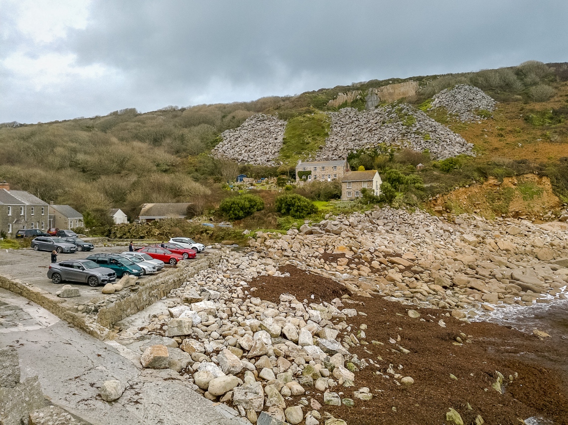
Like most places in Cornwall, Lamorna Cove is down the end of the narrowest little road imaginable. Driving a 6.5 foot wide car down these lanes is… er… interesting! Anyway, none of that nonsense matters because I’ll have fallen off a cliff by here, and even if I haven’t I won’t be going near the road. Besides, it’ll be pitch black, which doesn’t concern me at all.
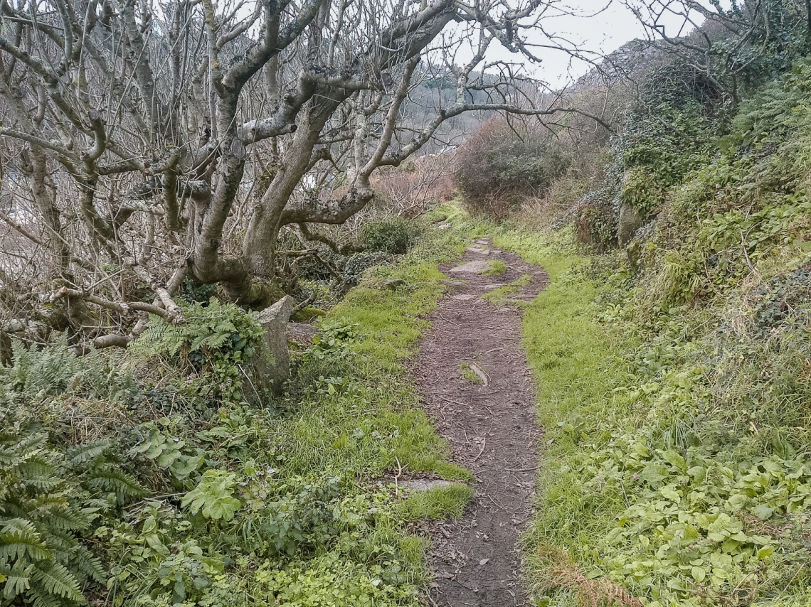
Here’s the car park. The Arc route comes in from the distant right side of the picture.
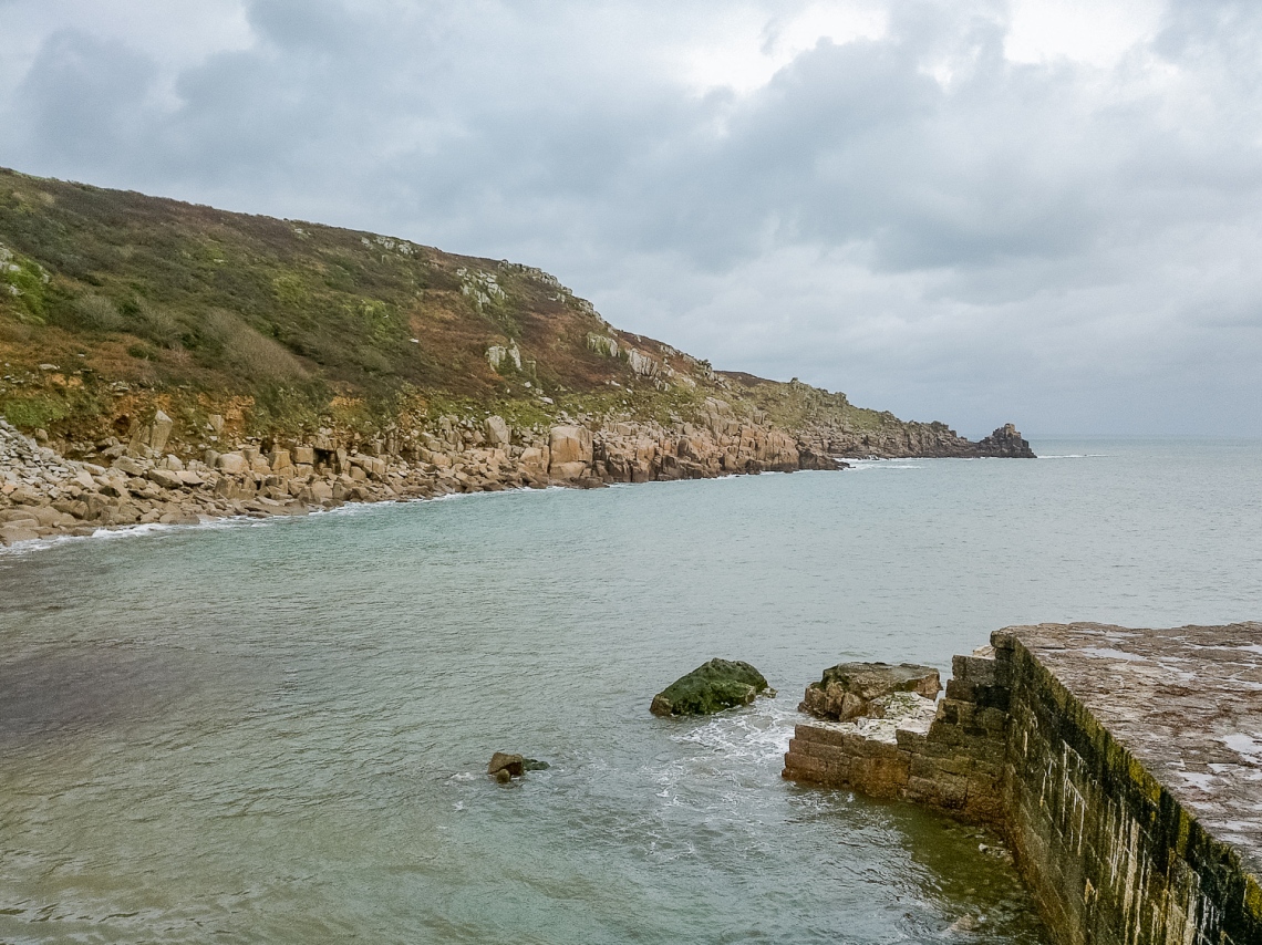
This is from the same spot I think, showing where the route comes from.
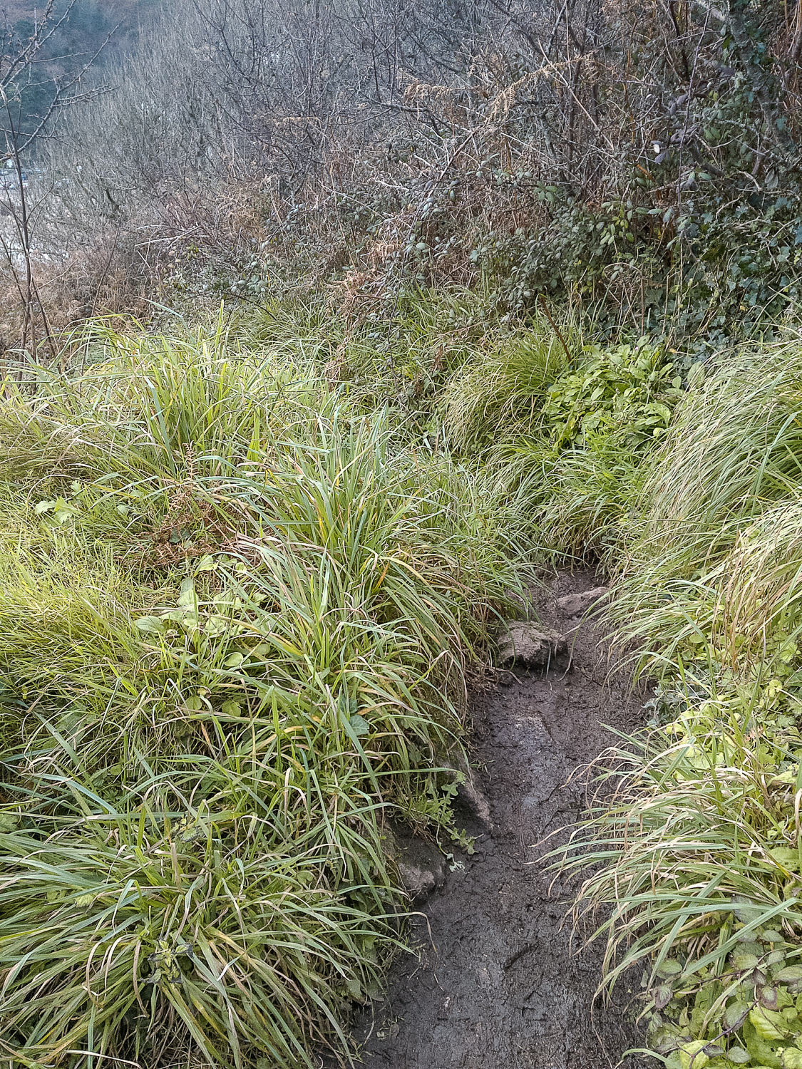
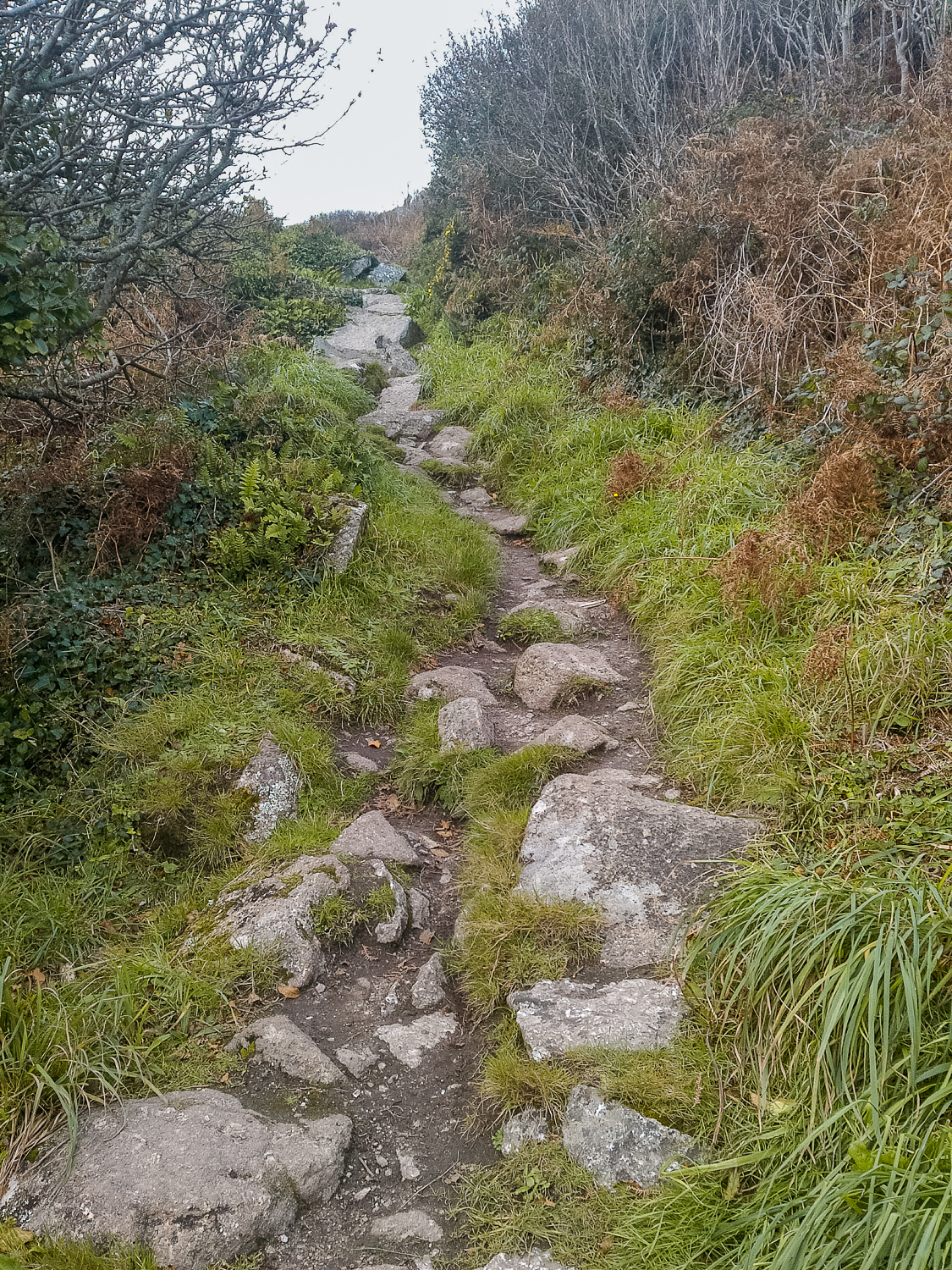
Drops are a bit sketchy here. As is the path.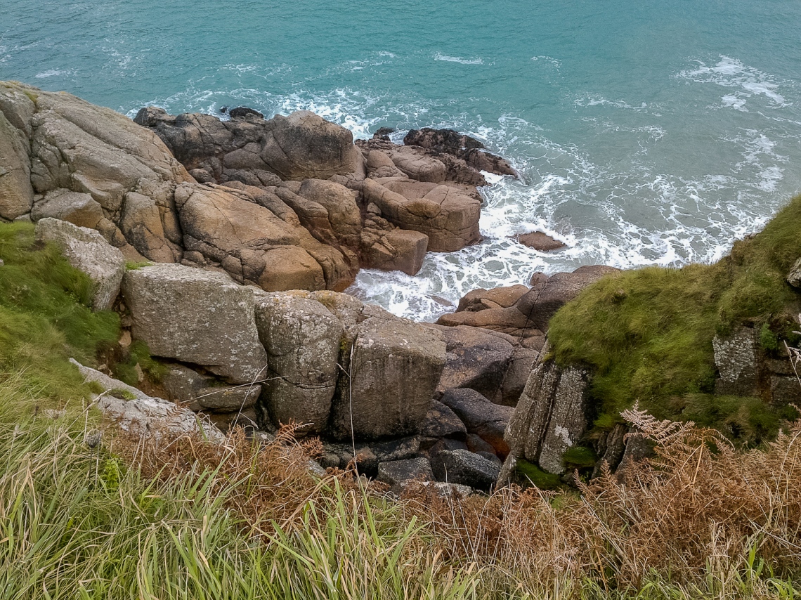
This is the SWCP (looking back toward the cove, so the Arc route goes from the Cove to behind this photo). There’s not much of a path – more patches of mud in between rocks with the occasional SWCP sign on a rock.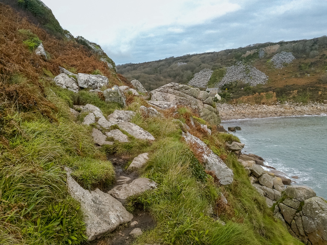
You can just about see the path here: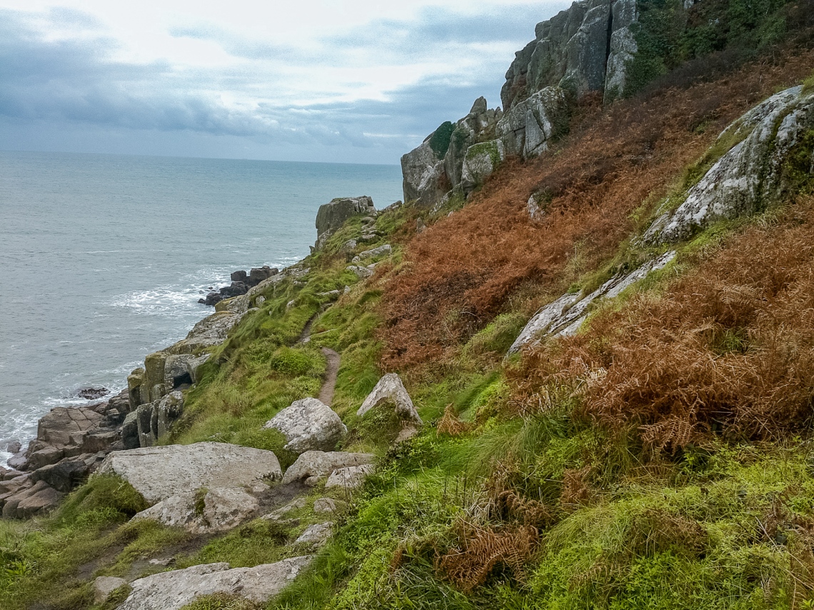
It is pretty though. In a sort-of “I’m going to kill you” way (can you sense my nervousness here?)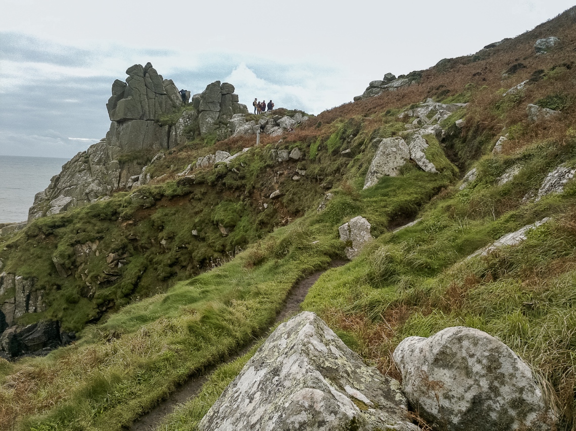
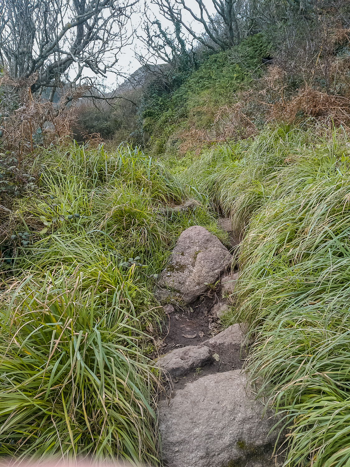
Phew, on the right track then. That’s nice and obvious.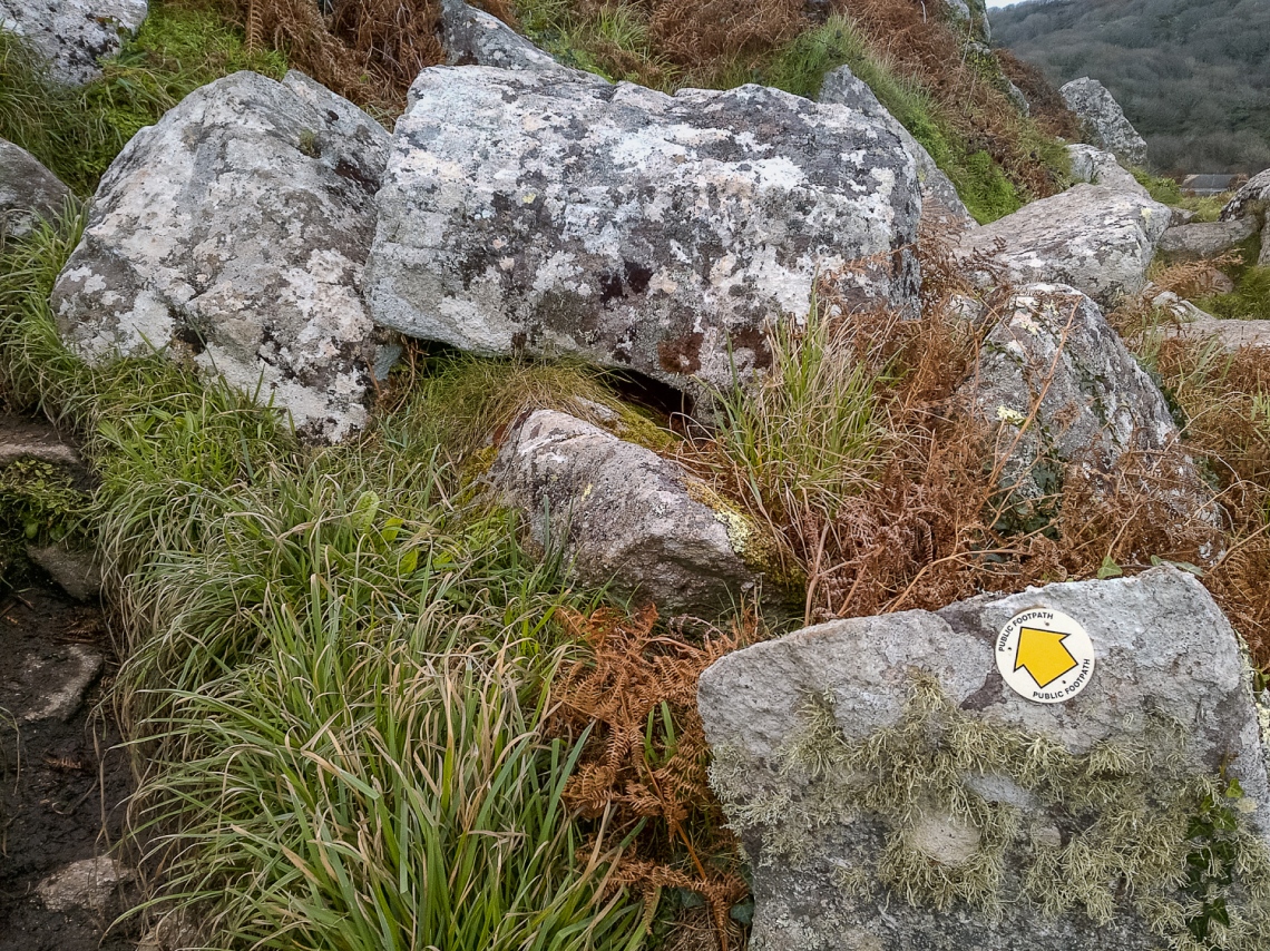
This one is going back towards the cove. Bit of clambering over rocks needed here.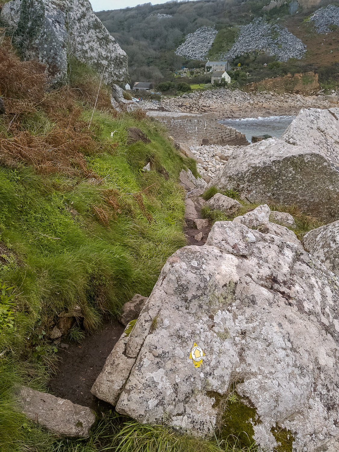
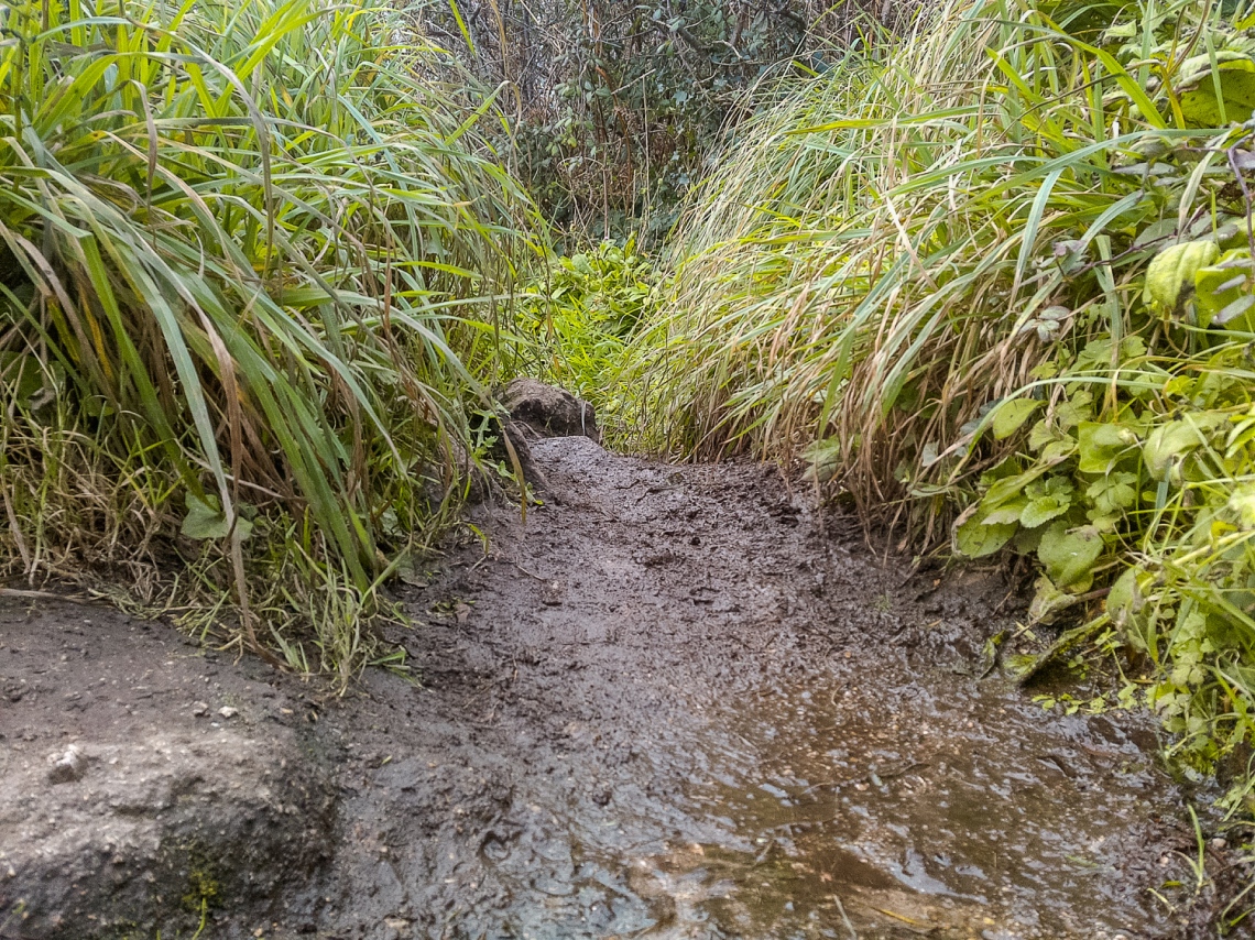
These photos are back East towards where the route comes from. It’s a bit easier going down into the Cove, bit of mud which could be messy in Feb and some rocky terrain but nothing difficult: